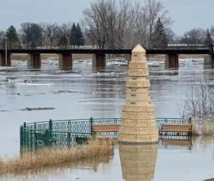
Unless something changes in the coming weeks and months the risk of flooding this spring is low for most reporting points along the Red River. The National Weather Service has released its first flood outlook of the season. The analysis says there is a low risk (below 35%) of major flooding throughout the basin. There is a high risk (greater than 65%) of minor flooding at Fargo on the Red River.
The current snowpack and associated water content is well below normal. Current snow depths are generally below 5 inches with slightly higher depths (5-7 inches) across the far southern Valley and into west central Minnesota. Current snow water equivalent values are generally below one inch except for slightly higher amounts in west central Minnesota.
For Grand Forks / East Grand Forks the 50-50 crest mark is 23.1 feet. Flood stage is 28.
The next few weeks are expected to bring a return to more normal temperatures, possibly trending towards slightly cooler than normal by mid-February.
Red River Long-Range Probabilistic Outlook by River Stage…
Valid from February 01, 2021 to May 02, 2021
LOCATION 95% 90% 75% 50% 2 5% 10% 05%
——– —— —— —— —— —— —— ——
Red River of the North…..
WAHPETON 8.8 9.3 10.1 11.1 12.1 14.1 14.3
HICKSON 16.4 19.2 20.8 23.9 27.0 32.0 33.6
FARGO 17.1 17.4 19.2 21.9 25.7 31.9 34.6
HALSTAD 11.6 12.2 16.1 18.9 24.5 31.3 36.0
GRAND FORKS 18.5 18.8 20.1 23.1 30.3 36.8 41.0
OSLO 13.3 14.0 17.2 22.1 29.7 33.9 35.0
DRAYTON 15.4 15.9 19.0 25.1 33.5 37.9 40.6
PEMBINA 18.6 20.0 23.0 29.1 35.7 42.3 45.9


