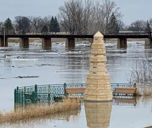
Recent snow systems have increased the chances for spring flooding in the Red River Valley.
One month ago the River Forecast Center issued a flood statement suggesting the risk for significant flooding was low – and running below long-term historical averages. The outlook from the National Weather Service today (Thursday) now calls moderate or higher spring flooding at or above long-term averages.
Snowmelt timing/thaw cycle, along with any additional snow and/or rain, will be the most important factors contributing to the spring flood risk.
The outlook puts the 50-50 crest prediction for the Red River in Grand Forks / East Grand Forks at 42.6 feet. Two weeks ago that mark was 38.5. Flood stage is 28.
RED RIVER 95% 90% 75% 50% 25% 10% 5%
—— —— —— —— —— —— —— ——
Wahpeton 11.7 11.7 12.2 13.2 14.9 15.7 16.8
Hickson 25.8 26.0 27.4 30.0 33.3 35.1 36.1
Fargo 25.7 27.2 28.9 31.8 34.0 36.5 38.5
Halstad 28.0 29.9 32.3 35.3 38.3 39.5 40.0
Grand Forks 36.6 37.4 40.0 42.6 44.2 46.6 49.9
Oslo 33.9 34.1 34.7 35.6 36.3 37.3 38.6
Drayton 34.6 35.5 38.0 40.0 41.0 42.2 43.3
Pembina 41.6 43.0 45.7 47.8 49.9 51.8 52.5


